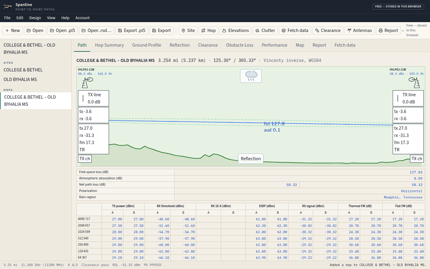
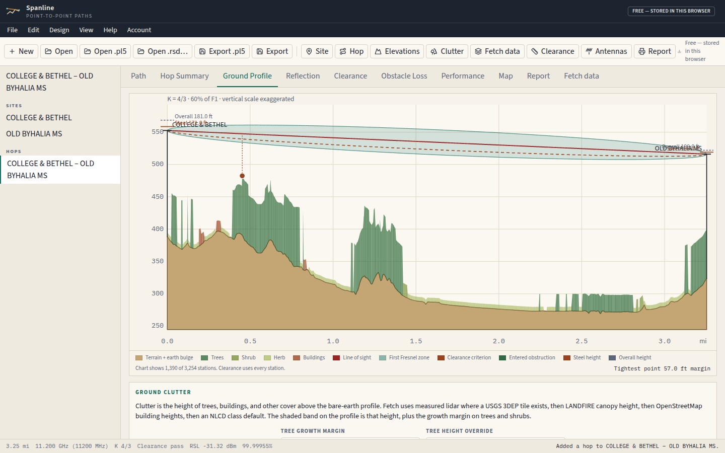
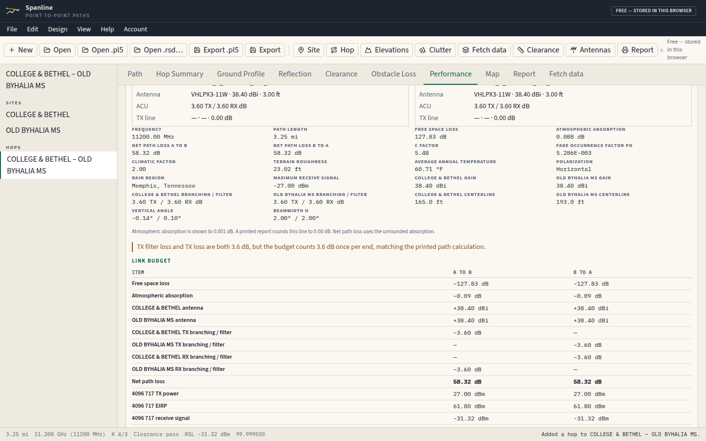
Path tab. College & Bethel, the Byhalia sample, after a .pl5 import.Ground profile for that same hop, drawn from the file until a USGS elevation is fetched.Performance tab. On this sample the thermal fade margin is 17.28 dB and the receive level is −31.32 dBm.
What Spanline does
Microwave path design. Two sites produce the Vincenty length and both azimuths.
Pathloss .pl5 import and export. A Pathloss 5 file can be opened, and a .pl5 can be written back out. The notes are on the .pl5 import page.
USGS 3DEP and lidar terrain. Profiles are built from USGS 3DEP bare earth on the National Map. Where a lidar project is published, Spanline can also read 3DEP height above ground.
NLCD and clutter. Clutter comes from lidar, LANDFIRE vegetation height, tagged OpenStreetMap buildings, and Annual NLCD class heights. A height can be edited after the fetch.
Vigants, Crane, and ITU-R P.838 rain. Multipath uses Vigants. Rain uses Crane and ITU-R P.838.
FCC ASR lookup. A signed-in session can search the FCC antenna structure registration near a site or by number. That lookup stays empty until the weekly FCC file has been imported.
Link budget and printable reports. Spanline computes free-space loss, receive level, and fade margin, then prints the path on letter paper. The arithmetic is on the link budget page.
Without an account, and with one
In this browser
With no account, projects stay in this browser. Spanline does not send them to the server. A radio saved from an .rsd file stays in this browser too. Elevation and the address lookup still run. Find ASR requires a sign-in.
Signed in
A signed-in plan is free, paid, or admin. Any of those stores projects on the server. A paid or admin account can save private catalog rows. Only an admin account can change the shared catalog.
Free to use in the browser; sign-in saves projects.